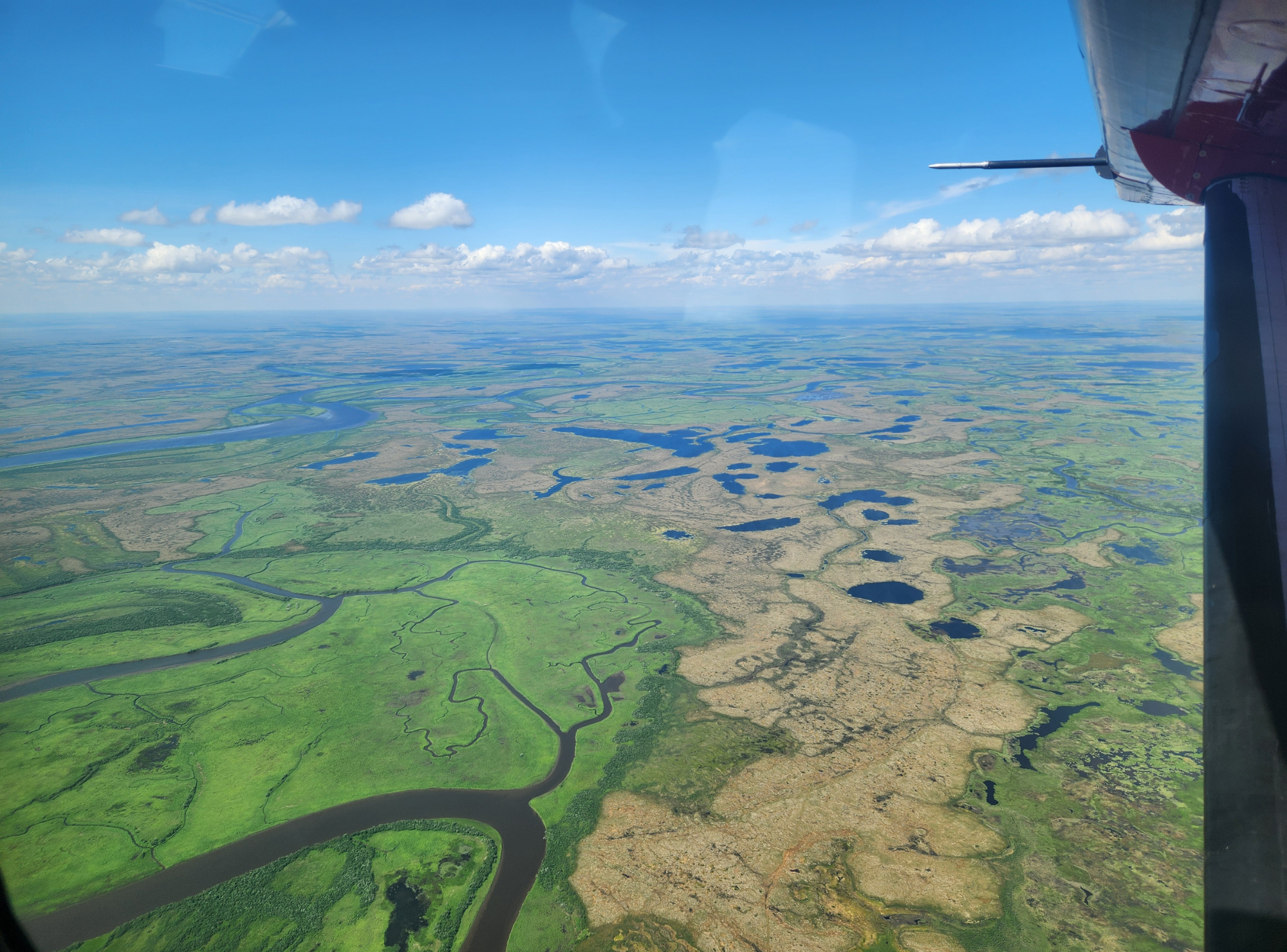
Yup’ik Atlas: Mapping Our Stories and Place NamesOver the past decade, CEC has worked with Elders and communities to document Yup’ik place names and stories across the Bering Sea coast and Yukon–Kuskokwim Delta. The Yup’ik Atlas now holds thousands of named places—camp and settlement sites, rivers, sloughs, rocks, ponds, sandbars, and underwater channels—along with the histories, teachings, and memories connected to them.
In partnership with the Exchange for Local Observations and Knowledge of the Arctic (ELOKA), funded by the National Science Foundation.
CEC has worked with Elders throughout the Y-K region to share and document place names for more than a decade. This work, completed as a part of the ELOKA project, led to the creation of the Yup'ik Atlas (yupikatlas.org), which now boasts more than 4,000 names, as well as stories, videos, and much more.
ELOKA (Exchange of Local Observation and Knowledge in the Arctic) is a worldwide partnership of more than a dozen groups from across the Arctic and Subarctic, including CEC Anthropologist, Ann Fienup-Riordan, Ph.D. and the late Mark John, CEC's longtime cultural advisor. Funded by the National Science Foundation, ELOKA partners share a common goal of documenting local knowledge and observations.